(Re)shaping Local Foodways Through Transport Infrastructures in Chukotka
By Elena Davydova and Vladimir Davydov
This blog post is based on field studies conducted in winter 2017, summer 2018, and spring 2019. While fieldwork in all our Russian fieldsites is placed on hold, we wanted to show with this post where our fieldwork would have taken us to expand on our existing knowledge.
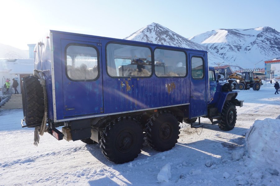
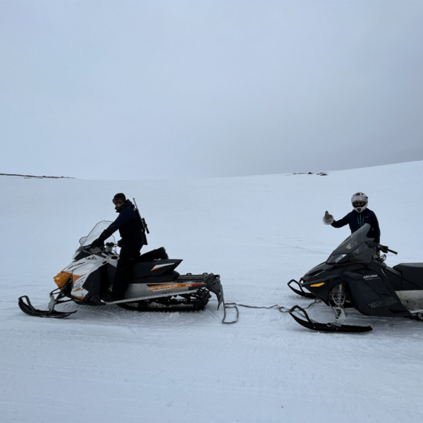
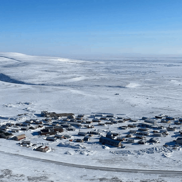
In the winter of 2017, we visited a reindeer herding village Amguema, Chukotka, for the first time. It is relatively easy to get there compared to other settlements of this region due to the road along which both the village itself and the administrative center Egvekinot are located. The travel from the first settlement to the second one takes about two hours by car, trekol (which is a six-wheeled all-terrain vehicle and its name stands for “ecological transport”) or bus (vakhtovka) if circumstances are favorable. During our field work the road brought us closer to the reindeer herding brigades and to the regional center, helping us to reach desired places. However, at the time of our arrival, we still did not know how often we would drive along this road both during the trip of 2017 and during an expedition that took place in the summer and autumn of 2018.
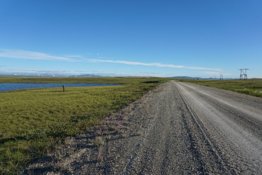
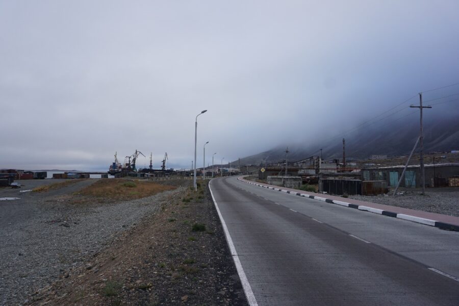
The Iul’tinskaya Highway is a 207 km long road linking the seaport of Egvekinot on the coast of the Bering Sea with the continental part of the Iul’tinskiy district of the Chukotka Autonomous Okrug. Initially, it reached the mine settlement Iul’tin. After the collapse of the Soviet Union, the settlement and the mine were closed, and local authorities started to pay less attention to the maintenance of the road. As a result, some parts of it have fallen into decay. However, in recent years the authorities have launched a road reconstruction project and the first six kilometers, connecting Egvekinot with its airport, have been repaired. Now the road functions as a part of the Egvekinot – Cape Schmidt pathway, the main piece of which operates as a winter road.
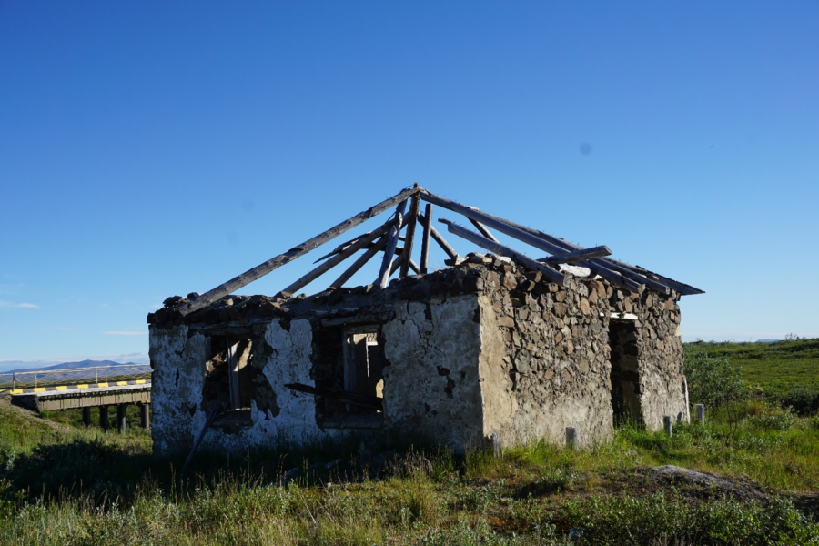
The memories about the prisoners of Chukotlag (one of the GULAG labor camps), who built this road in the late 1940s and early 1950s, are still alive among local people. Our interlocutors told stories about them and also showed us dilapidated barracks, standing along the road and being the material embodiment of the past, that is the history of the road. Nevertheless, this road, accompanied by abandoned buildings, continues to be an important channel of mobility in the region.
Reindeer herders, sea mammal hunters who sell the fat and meat of marine mammals in the district and beyond, trading companies, representatives of the tourism industry and their clients, as well as ordinary people from Amguema use this road for different purposes. It was the latter who convinced us, both by their personal example and advice, to make regular trips to Egvekinot to purchase food during our stay in the village. We didn’t want to tighten our belts and eat on-the-go food, as many other travelers in the Arctic are ready to do, as we had our two-year old son accompanying us in the field. Therefore, together with people from Amguema we looked for ways, routes, and opportunities to find fresh, high-quality, and varied products.
Being outsiders to Amguema, we were surprised not only by the abundance of expired foods on the shelves of local shops, but also by the fact that the delivery of “fresh” products from the regional center also included already expired goods. The road makes the village more accessible and, therefore, should potentially further the supply of fresh products. However, according to our observations, the number of expired food items in Amguema is often higher than in the regional center, as well as in the more remote coastal village. In other words, the road contributed to regular delivery of overdue goods to the settlement.
At the same time, the Iul’tinskaya road, which has become a channel for expired products, helps people to overcome this unequal supply systems of trading companies. People in Amguema often purchase products in the district center themselves. We also started to follow the example set by local people. According to them, as well as to our own observations, the range of products is more varied, prices are lower and food items are fresher in Egvekinot than in Amguema.
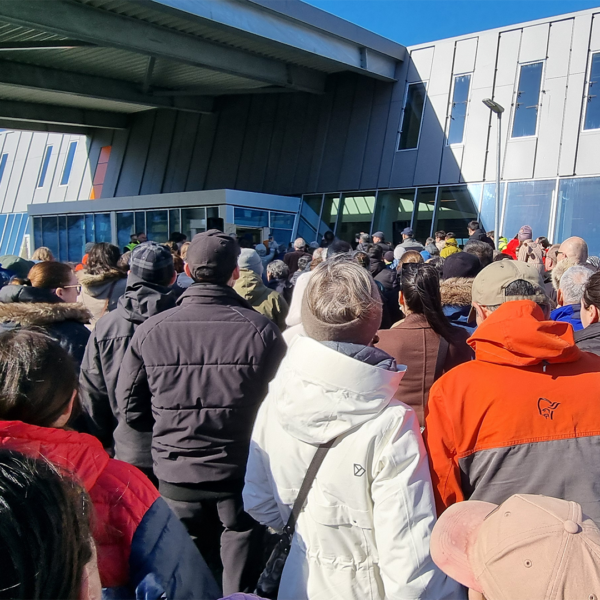
A public bus takes the villagers to the administrative center in the morning and brings them back in the evening twice a week. This route is quite popular, as full buses drive between the settlements. Moreover, potential passengers have to buy tickets in advance, preferably arriving at least an hour before the opening of the ticket sales point in order to be at the front of the queue for a guaranteed ticket. The residents of Egvekinot emphasize that local shops are full with people from Amguema on days when the bus arrives from there, and they call these days “visiting ones” (vyezdnye).
Johannes Fabian (1983) describes how movements in space could be perceived as movements in time. This story also reveals space-time relations as regular trips to the regional center help people from Amguema manage and manipulate temporality of foods. Namely, moving to Egvekinot local people aim to outpace time by getting to an earlier stage of the redistribution of food items among Chukotkan settlements.
Buying goods in Egvekinot is not just a geographical movement but a proactive action: an attempt to get a particular product earlier (while it is fresh) than it would be possible within the established supply system. The existing transport infrastructure – the Iul’tinskaya road – allows local people to escape the monotonous consumption of chain store offers and to purchase goods outside the established system.
Thus, local residents themselves correct the asymmetry in the distribution of expired food items by bringing fresher ones from the regional center by bus or private vehicle to the village or sometimes to the tundra. The road, on the one hand, increases the imbalance in the availability of fresh food and the concentration of overdue goods in certain places, creating food inequality, and on the other hand, this transport infrastructure is an affordance to overcome this injustice.
Observations made back in 2017-2019 in Chukotka regarding the role of the Iul’tinskaya road for supply and food practices inspires and encourages further investigations within the InfraNorth project of the entanglements between transport infrastructures and food systems in modern Arctic communities. Indeed, under conditions of globalization, only small amounts of food are being produced and consumed at the household level; on the contrary, most food items are not locally produced and need to be transported – through the interaction between different types of transport infrastructures – in order to get to people’s plates. In this regard, it is important to understand how transport infrastructures (re)shape local foodways and contribute to food (in)security in the study region.
Reference
Fabian, J. (1983). Time and the other: How anthropology makes its object. Columbia University Press.

Please login to post a comment...