Russian Arctic
Our research activities at Russian field sites were suspended since the beginning of Russia’s invasion of Ukraine on February 24, 2022. As a result, the outlay of the Russian component had to be significantly reconfigured. While continuing to monitor the situation in Russia, throughout the project we worked with previously collected field data from Egvekinot and neighboring Indigenous communities (Chukotka) and from Tiksi and Bykovskiy (Sakha [Yakutiya]). At the same time, we dropped the originally planned study area on Yamal Peninsula and did not have access to the field sites Provideniya and Murmansk. Instead, we focused more ethnographic attention on the neighboring coastal communities of Nome and Kirkenes, which were linked to the study region through Arctic shipping lanes.
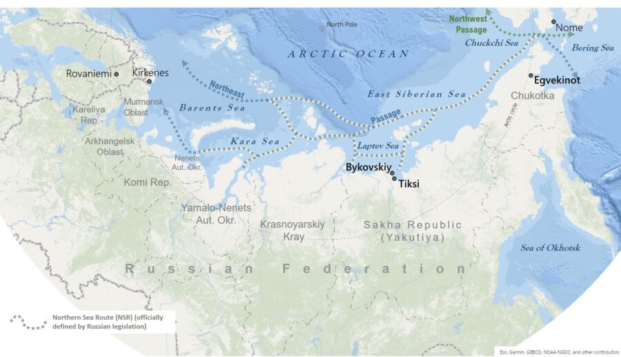
This study region was defined by the extent of the Northern Sea Route (NSR), a large-scale infrastructure object that is a network of shipping lanes, coastal communities, and seaports. The NSR has played a key role in the exploration, urbanization, and resource extraction of the Soviet Arctic. Since its opening for international transit, the NSR has been used to some extent as a transshipment lane between East Asia and Europe. At the same time, its utility for regional and community development has significantly declined with the shrinking of centralized investments into the local economy and infrastructures in the post-Soviet period.
Thus, research in this macro-region focused on the role of Soviet infrastructural legacies and of post-Soviet socio-economic and environmental changes. It examined the role of transport infrastructure projects, in particular sea ports, airports, and roads in the patterns of social dynamics, mobility, and supply as well as well-being of Arctic coastal communities in two areas:
- The case study area Chukotka included the regional center and transportation hub Egvekinot and two remote Indigenous villages in the Iul’tinskiy District. Egvekinot’s transport infrastructures – the seaport, airport and several roads – were built in Soviet times and are now partly destroyed or being reconstructed. Their (mal)functioning affects the local residents and shapes the distribution of resources not only in the regional center but also in the reindeer herding community of Amguema and the sea-mammal hunters’ settlement of Nutepel’men.
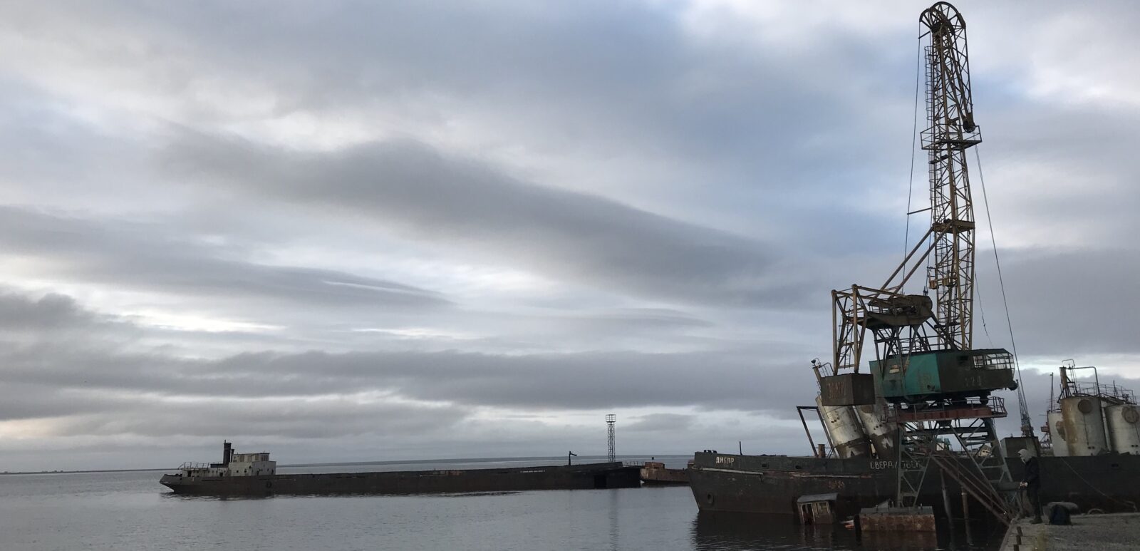
- The case study area Northern Sakha (Yakutiya) included the old NSR sea port and military base Tiksi and the neighboring Indigenous fishing village Bykovskiy. Both communities have been experiencing a number of socio-economic, infrastructural, and environmental changes, which transformed them from outposts of Soviet Arctic exploration to remote communities. While Tiksi is still awaiting the promised development and modernization of the sea port, Bykovskiy – accessible by sea in summer and by ice road in winter – is struggling with the impacts of severe coastal erosion.
In addition, research in two cross-border study areas could only be conducted in its non-Russian parts through the duration of the project. Below is the original design of these areas including Russian field sites.
- The Russian part of the case study area Barents Region included the largest Arctic city and sea port of Murmansk, which has been an important hub for international maritime transportation, trade, and cooperation in the European Arctic. The sea port community of Kirkenes, Russia’s closest Norwegian counterpart and the administrative center of cooperation in the Barents Euro-Arctic Region (BEAR), was in the center of our attention.
- The case study area Bering Strait included the NSR city of Provideniya on the Russian side and the port city of Nome on the American side. While forms of transnational cooperation (e.g., marine resource management, Indigenous movement) have been important for these communities in post-Soviet times, national security concerns and geopolitical competition have gained priority regarding infrastructural development on both sides of Bering Strait more recently.